Coachella Valley
The Coachella Valley is located in the lower Colorado desert region of southern California. It is bordered by the San Jacinto, Santa Rosa and San Bernardino mountains and is part of the Whitewater watershed that drains into the Salton Sea. The highest peaks in the surrounding mountains are Mt. San Jacinto (10,804’) and Mt. San Gorgonio (11,499’). Elevations on the Valley floor range from 1600’ above sea level at the western end of the Valley near Palm Springs to 250’ below sea level at the Salton Sea.
Climate

Rainfall is limited with average annual precipitation of 2 to 4”. Most rainfall occurs during winter months though intense rains can sometimes occur during the mid-summer producing flash floods and severe erosion.
Seasonal winds can be a problem in some regions of the Valley. Windstorms most frequently occur in the late spring and can cause extensive damage to unprotected soils, plants, structures and vehicles. Airborne dust carried by these winds can compromise air quality and respiratory health. Since 1956 research and implementation of wind erosion control measures have been an ongoing CVRCD program focus.
Annual temperature variations in the Coachella Valley are extreme with occasional winter lows in the mid-20’s (°F) and occasional summer highs in the mid-120’s (°F). The mean annual temperature is 74 (°F). The Valley offers a 300-day frost-free growing season with some crops grown successfully through the entire year.
Soils
The complexity of the soil characteristics in the Coachella Valley dramatically impacts virtually all land uses including cultivation of agricultural crops, landscape ornamentals and turfgrass and preservation of wildlife habitat.
Coachella Valley soils originate from two main sources: sediment deposits from ancient Lake Cahuilla and weathered rock from the surrounding mountains. Transported by wind and water, these parent materials combine to create a large variety and complex distribution of distinctive soil types throughout the Valley.
In general, soils at the lower elevations of the Valley floor are composed of fine textured sedimentary materials that are classified as silts and silty loams. Much of the Coachella Valley’s production agriculture is found on these fine textured soils. They have greater water holding capacities than the coarser sand, gravels and rocks that are found at higher elevations near the surrounding mountains and alluvial fans.
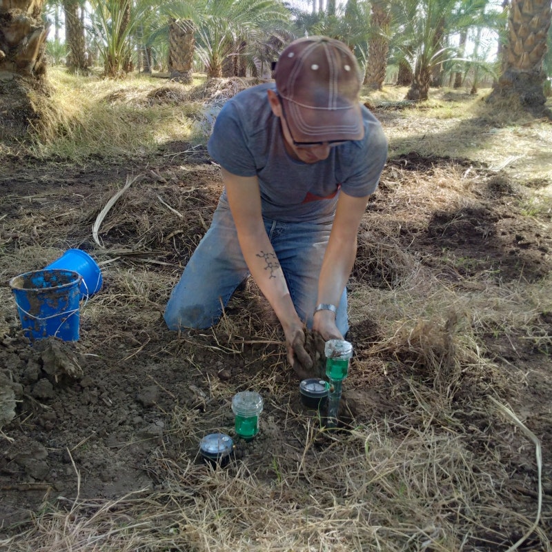
Compaction and stratification (layering) of different soil types are often seen in the finer textured soils of the Valley. Both of these soil characteristics can reduce rates of water penetration, nutrient availability, root growth and other components of healthy plant development and production. CVRCD and local NRCS researchers were leaders in studying the use of deep mechanical plowing (slip-plowing) as a way to increase plant growth, plant health and crop production in compacted and stratified soils.
Water

Water is the most critical resource issue in the Coachella Valley. There are three major sources of water in the area. Groundwater, pumped from the Whitewater River aquifer, is used for drinking, industry and irrigation. Colorado River water, delivered through the Coachella branch of the All-American canal, is primarily used for agriculture, fish farming, golf course turfgrass and landscape irrigation. Reclaimed or recycled domestic water is used for golf-course and landscape irrigation.
The recent drought makes clear that the Valley’s water resources are limited. Continued overdraft of groundwater from the Whitewater aquifer threatens a resource that is critical to the environmental, economic and community well-being of the Coachella Valley. CVRCD continues to work with both public and private land owners to maintain a healthy watershed and wise stewardship of this precious desert resource. (Sand trout courtesy of M.Watling Fisheries)
Agriculture
Long growing season, high quality irrigation water, manageable soils and market proximity make production agriculture a major industry in the Valley. In 2014 there were over 66,000 harvested acres producing a gross return of over $730,000,000
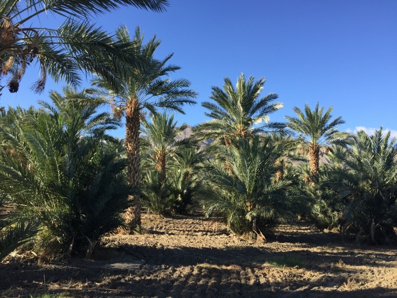
Farmers in the Coachella Valley market over 60 varieties of orchard and vegetable crops. The main cash crops include citrus, dates, table grapes, melons, corn, lettuce, carrots, broccoli and a number of specialty vegetables.
Urban agriculture is also critical to the aesthetics and economics of development in the Coachella Valley. Due to its mild winter climate, the Coachella Valley is a major tourist, retirement and recreation area hosting over 125 golf courses. Golf course turfgrass and landscape nursery container stock are among the most valuable crops in the Valley combining for a total value of over $100,000,000 in 2014.
Desert Habitat

The Coachella Valley provides unique and fragile desert habitat for 27 endangered plant and animal species including desert tortoise, bighorn sheep, Coachella Valley fringe-toed lizard, desert pupfish and Coachella Valley milkvetch. Some of these species are found no other place on the earth. To help protect these endangered species and to encourage a balanced approach to local development, the citizens of the Coachella Valley helped establish a conservation system of open spaces, nature preserves and parks. These conservation reserves include over 240,000 acres of land protecting critical desert mountain, wash, oasis habitats and essential wildlife corridors throughout the Valley. They include Joshua Tree National Park, the Santa Rosa-San Jacinto Mountains National Monument, the Mecca Hills and Orocopia Mountains Wilderness Area, parts of the new Sand to Snow National Monument as well as lands protected by local non-profit agencies and Cahuilla Indian tribal organizations.